LiDAR & Remote Sensing
Processing, classification, terrain models, and derivative products for engineering-grade decisions.
Learn moreWe build the geospatial systems, LiDAR solutions, and custom software that BC local governments depend on for smarter decisions and safer communities.

4+
Government Clients75+
Hours Saved per Project99%
Data Accuracy6+
Active ProjectsProcessing, classification, terrain models, and derivative products for engineering-grade decisions.
Learn moreSpatial analysis, data modeling, and practical GIS workflows for planning and operations teams.
Learn moreAddressing, road centerline, and schema validation work aligned to NENA expectations.
Learn morePurpose-built web applications, data tools, and internal systems for public-sector teams.
Learn moreRepeatable pipelines that reduce manual GIS effort while improving consistency and auditability.
Learn moreClear validation reports, remediation guidance, and quality controls for operational data.
Learn more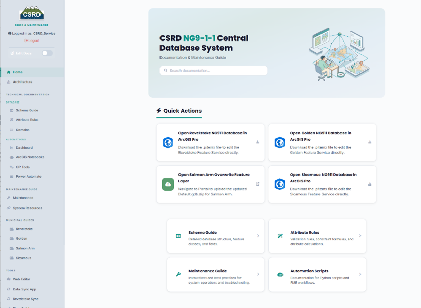
A master NG9-1-1 addressing database that unifies multi-jurisdictional data into a standardized, NENA-aligned SSAP environment with automated ETL and QA/QC.
View project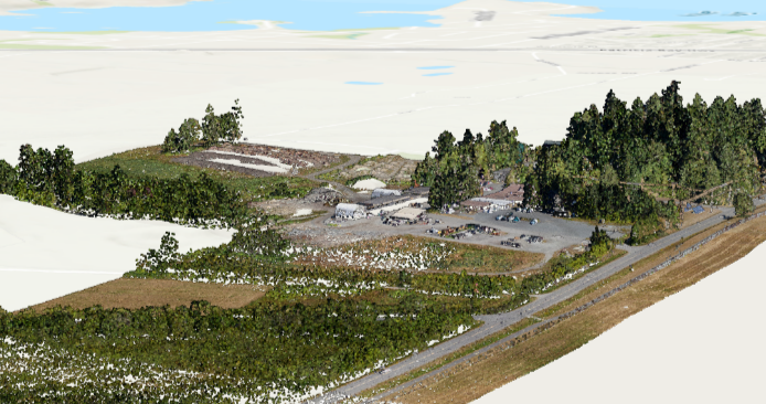
Full-pipeline LiDAR processing and classification, producing a high-resolution Digital Elevation Model validated against known control points.
View project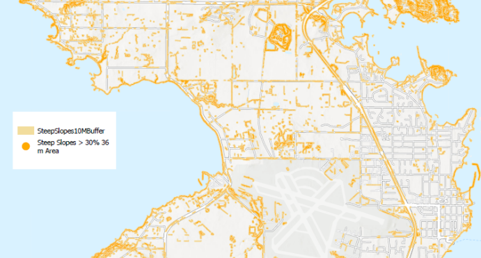
Slope and aspect analysis built on the LiDAR-derived DEM, classified into risk categories and delivered as publication-quality steep-slope maps for land-use planning.
View projectAutomated compliance validation and data standardization for next-generation 911 systems. Streamline your addressing infrastructure with intelligent schema guards and AI-driven field derivation.
$ ng911 validate addressing.geojson
Scanning 2,847 records...

✓ Schema validation: PASSED
✓ Address format: COMPLIANT
✓ Spatial integrity: VERIFIED

Result: 2,847 / 2,847 records conformant
Report: ng911_conformance_2026.pdf
Bring your GIS, LiDAR, and emergency-service data into a clearer, more reliable operating model.
Start a conversation